For centuries maps showed seven continents, but a team led by geologist Nick Mortimer proved Earth has an eighth, a nearly five million square kilometer continent called Zealandia hiding almost entirely underwater
Every schoolchild learns there are seven continents. They are wrong by one. Hidden almost entirely beneath the southwest Pacific lies a vast slab of continental crust that scientists only formally recognized in 2017 and finished mapping in 2023.
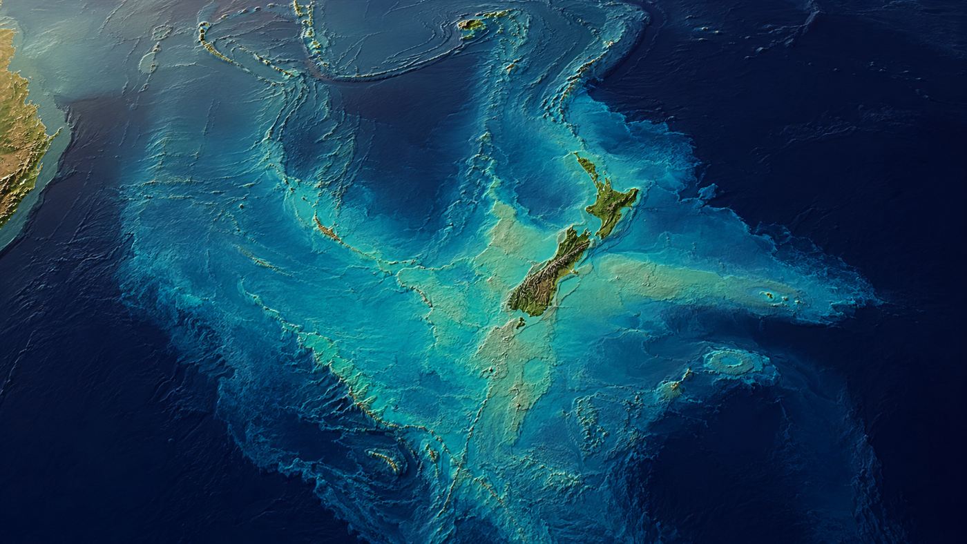
Zealandia, shown as a raised seafloor plateau, with New Zealand as its only large dry land. Illustration: Watts & Wild.
Zealandia is the continent that hid in plain sight. It is roughly the size of the Indian subcontinent, it has been sitting under sailors' keels for as long as people have crossed the Pacific, and yet it took until the twenty-first century for science to agree it was there at all. The reason is simple and strange: almost the whole thing is underwater, and we are used to thinking a continent has to be somewhere you can stand.
That assumption is exactly what a group of geologists set out to overturn. As New Zealand's GNS Science has documented, a team led by geologist Nick Mortimer spent close to two decades dredging rock from the seabed to build the case that this drowned plateau is not just a scatter of islands and shallows but a single, coherent continent in its own right.
Zealandia is a mostly submerged continent in the southwest Pacific, about 4.9 million square kilometers in size, of which roughly 94 percent lies underwater. Recognized as Earth's eighth continent in 2017, it broke away from the ancient supercontinent Gondwana and pokes above the waves in only a few places, the largest by far being New Zealand.
What is Zealandia?
Picture a landmass nearly half the size of Australia, then sink almost all of it a kilometer or so beneath the sea. What stays dry are the high points: New Zealand's two main islands, New Caledonia, and a handful of smaller islands scattered across an otherwise blue map. Everything between them, the ridges, plateaus and rises that look like ordinary seafloor, is the body of the same continent.
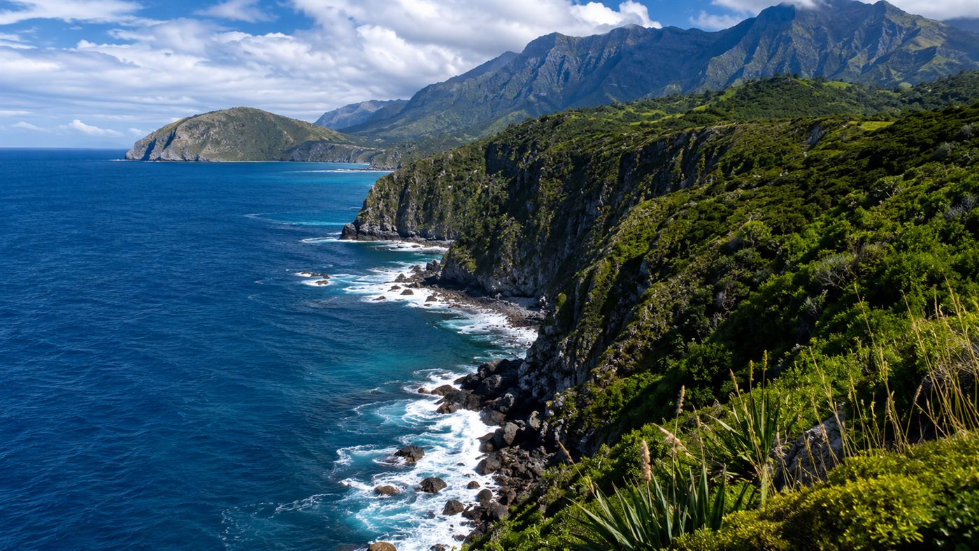
The Maori name for it, Te Riu-a-Maui, means roughly "the hills, valleys and plains of Maui," a fitting label for a landscape that is mostly hidden. Whatever you call it, Zealandia is a genuine outlier among the continents: the thinnest, the most submerged, and the last one we noticed. New Zealand, the busy country most people picture when they think of the region, is really just the tallest ridge of something enormous.
How can a continent be underwater?
The key is that geologists define a continent by what it is made of, not by whether your feet stay dry. The floor of the deep ocean is made of thin, dense volcanic rock called oceanic crust. Continents ride on something different: thick, lighter continental crust, rich in rocks like granite and schist. When the team pulled samples up from the deep around New Zealand, they kept finding exactly that continental rock, in the wrong place for a mere chain of islands.
So how did it end up drowned? As Zealandia tore away from Gondwana, its crust was stretched and thinned like pulled dough, dropping from a normal continental thickness to as little as half of it. Thinner crust rides lower, so most of Zealandia settled below sea level while still being, chemically and geologically, continental crust. It is a continent that simply sat down in the ocean and never got back up.
The two-decade hunt to prove it
Declaring a new continent is not something you do on a hunch. As the peer-reviewed literature on Te Riu-a-Maui lays out, the case rests on four hard geological tests: the region must stand high above the ocean floor, be built of continental rock, cover a large well-defined area, and sit on crust far thicker than the surrounding seabed. Zealandia passes all four.
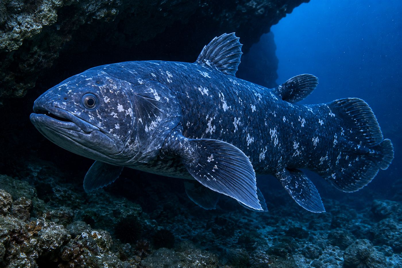
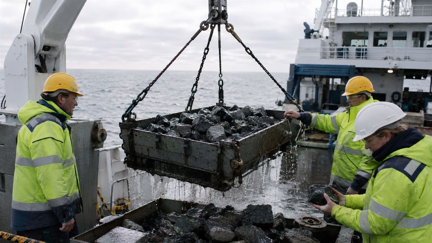
Assembling that proof meant years at sea. Mortimer's team gathered bathymetric maps, gravity and seismic surveys, plate-tectonic models and, crucially, actual rocks hauled up by dredge from ridges thousands of meters down. In 2017 they published their argument in the journal GSA Today under a title that left no doubt about the claim, "Zealandia: Earth's Hidden Continent," and the idea of an eighth continent moved from fringe to textbook. The reveal was less a single eureka than the slow, stubborn accumulation of evidence, closer to the decades of patient work behind the rediscovered coelacanth than to a lucky strike.
How Zealandia broke from Gondwana
Rewind about 80 million years and there is no Zealandia, only the eastern edge of Gondwana, the vast southern supercontinent that also held Australia, Antarctica, South America, Africa and India. As Gondwana pulled apart, a long strip of its margin began to rift away, stretching and cracking as the Tasman Sea opened up behind it. That runaway strip was Zealandia, drifting off on its own and thinning as it went.
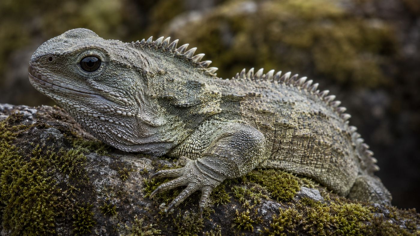
Cut off and slowly sinking, it carried a cargo of Gondwanan life with it, which is why New Zealand is such a museum of ancient survivors, from flightless birds to the lizard-like reptile that outlived the dinosaurs. The same deep isolation that produced the tuatara is written into the continent beneath it. Zealandia is not just geology, it is the stage on which some of the planet's strangest evolution played out.
The 2023 map that finished the picture
Recognizing the continent was one thing, seeing all of it was another. In 2023, Mortimer and colleagues published the first complete geological map of Zealandia, filling in the poorly sampled northern reaches and making it, remarkably, the first continent on Earth to be mapped in full. To finish the job they dredged rock all the way from the Fairway Ridge to the Coral Sea, reading the continent's history out of the samples.
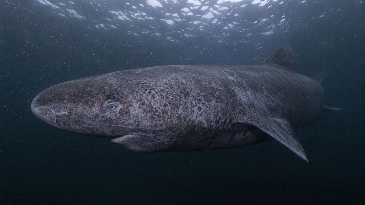
The new map held a surprise. It revealed a vast belt of ancient volcanism, magma that erupted along the old edge of Gondwana between roughly 100 and 60 million years ago, with lava fields spreading across about 250,000 square kilometers, an area the size of New Zealand itself. A continent we only just agreed exists still has plenty left to tell us, much as fresh study keeps rewriting what we know about deep-ocean life like the centuries-old Greenland shark and the clear-blooded Antarctic icefish.
The honest catch
Before you redraw your classroom globe, a caveat: there is no official referee for continents. No global body votes them in or out, so "eighth continent" is a scientific argument, a very well-supported one, rather than a formal decree stamped by an authority. It has convinced a lot of geologists, but you will still find maps and textbooks that ignore it.
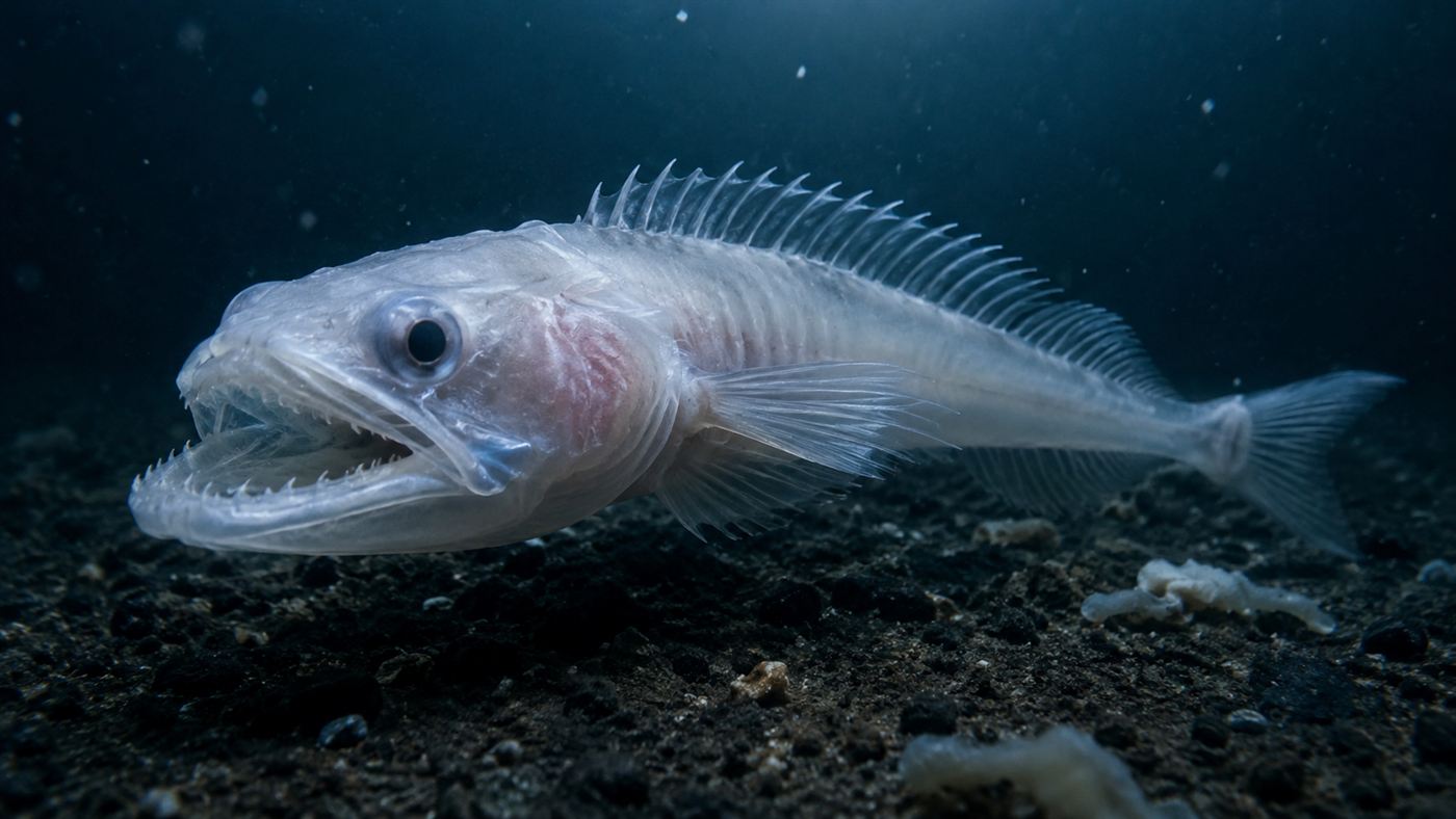
Some experts also prefer softer language, calling Zealandia a microcontinent or a large continental fragment rather than a full peer of Africa or Asia. That is a fair debate, and it turns on where you draw the line, not on the underlying facts, which are solid: the crust really is continental, the area really is vast, and it really is almost all underwater. Whether you file it as the eighth continent or the world's grandest continental fragment, the surprise is the same, and it sits in good company with the reframed science behind missions like NASA's DART asteroid strike.
For as long as anyone drew maps, a whole continent was sitting just under the water, waiting to be counted. Now that we know Zealandia is down there, should the world's maps and schoolbooks finally start teaching eight continents instead of seven? Tell us in the comments.
Related reading: explore more from our Science & Tech desk, where the planet keeps turning out to be stranger than the map.