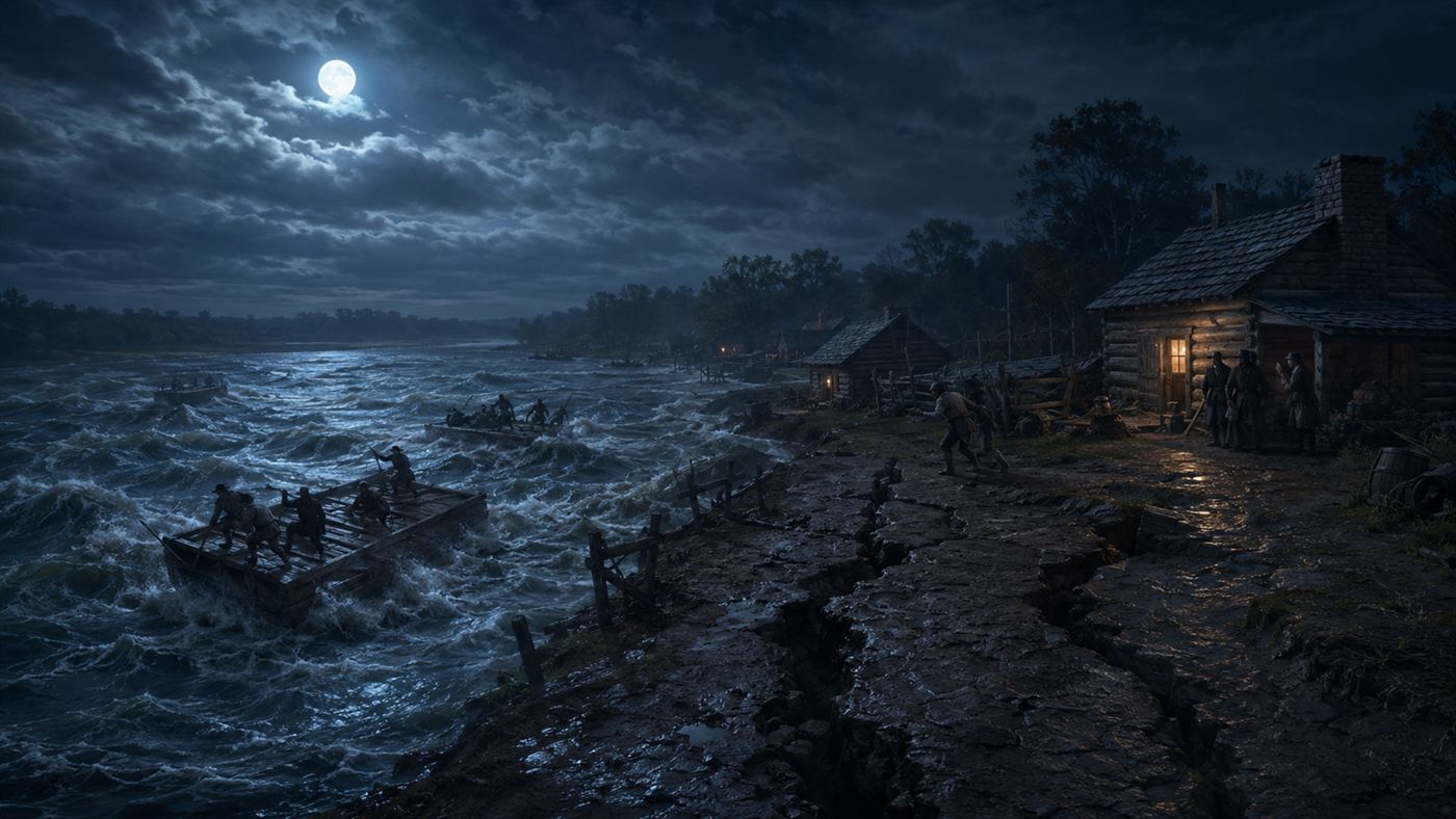
In the winter of 1811 a string of colossal earthquakes tore through the middle of America, made the Mississippi River appear to run backwards, and rang church bells a thousand miles away
Most people think of the United States as earthquake country only on the West Coast. Yet the most violent quakes in the nation's recorded history struck the flat farmland of the Mississippi Valley, far from any fault most of us have heard of. For a few terrifying weeks, the solid ground of the American heartland behaved like the sea.
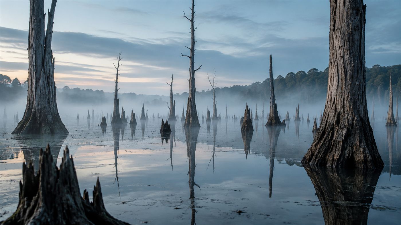
The Mississippi churned and heaved as the ground itself rolled in waves. Illustration: Watts & Wild.
Beginning on December 16, 1811, and running into February 1812, a sparsely settled stretch of what is now the border country of Missouri, Tennessee, Arkansas and Kentucky was hit by a barrage of enormous earthquakes. Centred near the little frontier town of New Madrid, Missouri, they remain the most powerful earthquakes ever recorded east of the Rocky Mountains.
The New Madrid earthquakes did things that sound impossible. They rolled the earth in visible waves, blew fountains of sand and water out of the ground, and, most famously of all, made the mighty Mississippi River appear to run backwards. To the settlers who lived through them, it genuinely seemed like the end of the world.
The short version: the New Madrid earthquakes were three main shocks and thousands of aftershocks that tore through the middle of the continent over about two months. They reshaped hundreds of miles of river country, created a whole new lake, and were felt so far away that they set church bells ringing on the East Coast.
The night the ground turned to liquid
The first great shock hit in the small hours of December 16, 1811, and it was unlike anything the settlers had felt. The earth did not just tremble, it rolled, throwing up ridges and cracking open in long fissures. In the worst-hit areas the soaked riverbank soil behaved like a liquid, a process we now call soil liquefaction.
Where that happened, pressurised water and sand blasted up through the ground in jets, leaving craters and spreading pale sheets of sand across the fields. These sand blows scarred the landscape so thoroughly that you can still trace them from the air today, more than two centuries after the New Madrid earthquakes fell silent.
How the Mississippi River ran backwards
The most legendary detail is also true, if you understand what really happened. Witnesses on the river swore they saw the Mississippi River flow upstream for a time, and boats were swept the wrong way. It was not magic and not a permanent reversal, but a violent, temporary trick of the quaking earth.
The shaking heaved the riverbed upward in places and collapsed the banks in others, creating sudden waterfalls, huge waves and backward-surging water. For a few hours the current fought itself and ran the wrong way, until the river tore through the new obstacles and resumed its march to the sea. The river had been briefly, genuinely turned around.
What the New Madrid earthquakes left behind
Not all the changes were temporary. In one place the land dropped several feet over a wide area, and the disrupted water flooded in to fill the hollow. That new basin became Reelfoot Lake in northwestern Tennessee, a shallow, eerie body of water still dotted with the stumps of the forest that drowned when it formed.
Reelfoot Lake is the most beautiful legacy of the disaster, a birdwatcher's paradise born in one of the most violent events in American history. It is a strange thing to stand on its quiet shore and realise the whole peaceful scene was punched into existence by the same forces that once sent the Mississippi backwards.
Why did church bells ring in Boston?
Here is what makes these quakes so unnerving to geologists. The shaking was felt across roughly two-thirds of the young United States, an area of well over a million square miles. People reported church bells ringing on their own as far away as Charleston, and the tremors were noticed up the eastern seaboard toward Boston.
The reason is the ground itself. The old, cold, solid rock of the eastern United States carries seismic waves far more efficiently than the broken crust of the West, so a quake in the middle of the continent rings the whole region like a struck bell. A repeat of the New Madrid earthquakes today would be felt by tens of millions of people.
The honest catch
It is easy to let the river-reversal steal the show, but the sober reality is the more important story. Because the region was thinly settled in 1811, the recorded death toll was low, and that has lulled people into treating the whole thing as a frontier curiosity rather than a serious warning.
That is the real catch. The same fault zone is still there, now with cities, pipelines, bridges and millions of residents built on top of it, most of them in buildings never designed for a major quake. Geologists take the New Madrid seismic zone very seriously precisely because the next big one would not fall on empty wilderness.
A warning written into the heartland
The New Madrid earthquakes are more than a great story about a backward river. They are proof that the quiet middle of a continent can unleash violence to rival any coastline, and that the calm of two centuries is not the same as safety. The land remembers what it did, even when the people who live on it forget.
For now the fault sleeps, stirring only with small tremors that rarely make the news. But the sand blows in the fields and the drowned trees in the lake are a standing message from the winter of 1811, written into the American heartland in a language geologists are still learning to read.
An earthquake in the flat heartland once turned the Mississippi around and rang bells on the far coast, and the fault that did it is still down there. Should the middle of the country be building for a giant quake most people do not even believe can happen? Tell us what you think in the comments.
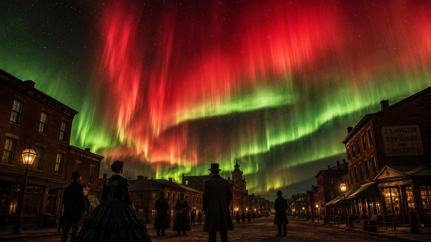
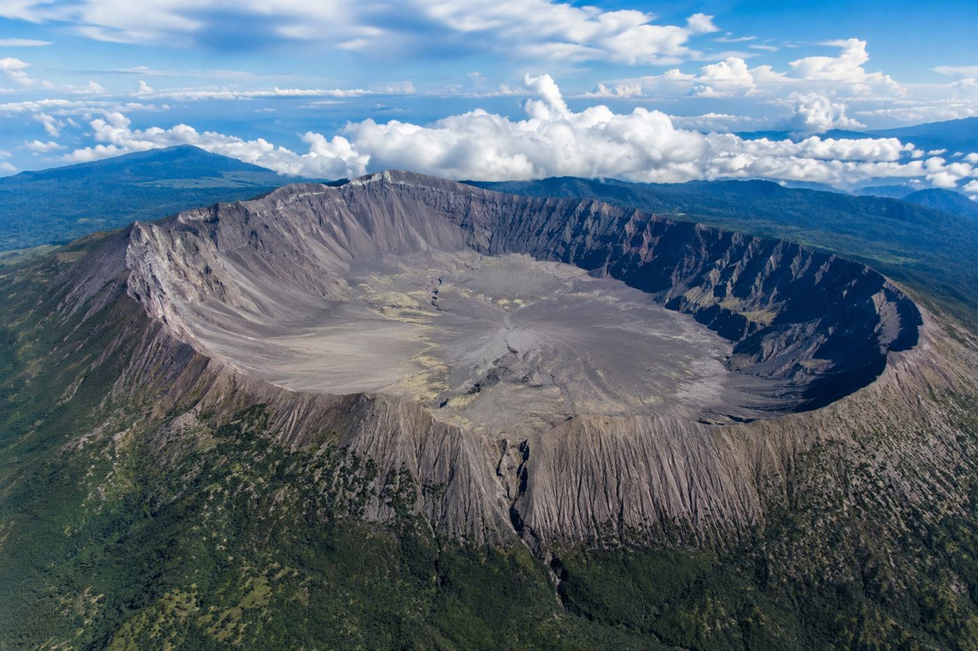
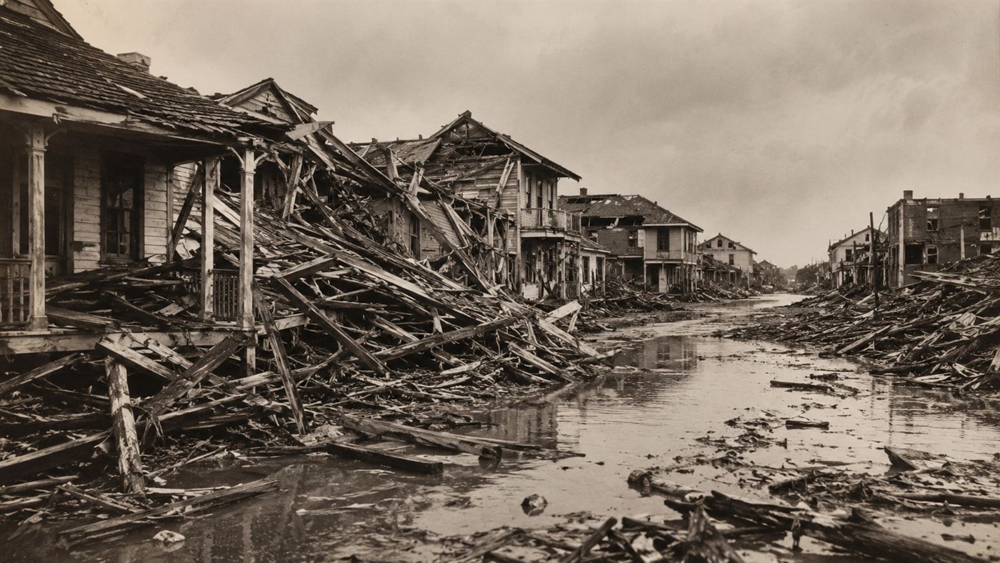
Related reading: the 1859 solar storm that set telegraph offices on fire and lit auroras over the tropics. See also the volcano whose eruption erased an entire summer, and the hurricane that drowned a city and forced it to raise itself out of the sea.